This time we want to share with you Navixy updates for October and present new hardware supported by our platform.
This month most of the novelties were suggested by our partners community (thank you guys!), so for sure many will find it interesting. For example, now in the "Measuring sensors" report you can get a more detailed info. It’s hard to rename an object now without being noticed: so make a separate event and store it. Working with a large number of geofences became easier as now tags can be set to each of them.
Geofence name in reports and notifications
The name of the Place/POI (taken from the directory of addresses) has long been indicated next to the address — in reports and notifications. Now, at your request, the geofences are also placed nearby the addresses. The names of places and geofences are put in square brackets in front of the address.
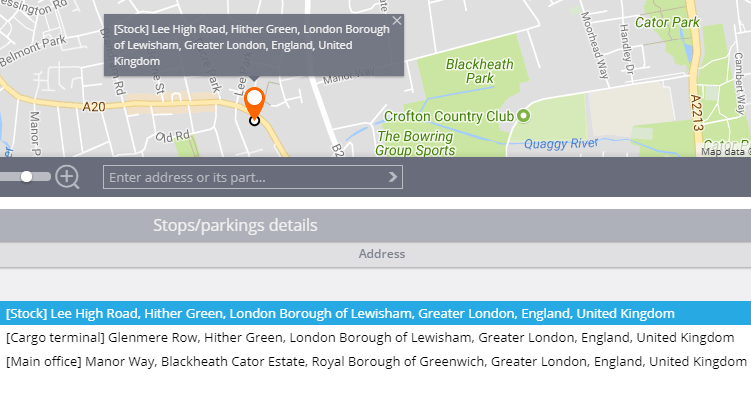
This helps customers to navigate more easily: instead of an abstract address you can use the familiar names, for example, "Stock" or "Cargo terminal".
Measuring sensors detailed report
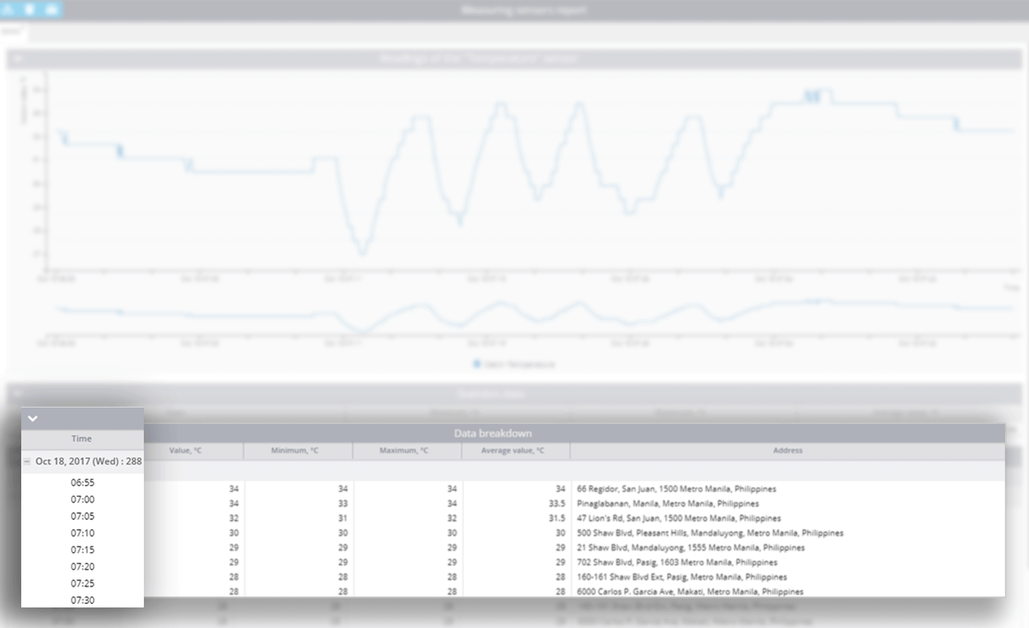
From the tables in the report you can find out how the readings changed over time. For example, you can monitor the temperature change in the refrigerator during the day — with a given time step.
In practice, there are situations when you need to set a short time interval — for a more detailed info on the sensor readings. For example, some customers need a detailed reporting on the perishable goods transportation. For such situations, we reduced the lower limit of the interval to 5 minutes.
In the Fleet app you’ll find the enlarged transport classification
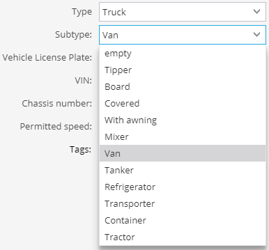
We understand that for customers with large fleets it is important to record the full range of vehicle characteristics, including the car and body type. We have increased the number of transport subtypes — now there are 50 of them.
Keep a list of vehicles and maintenance, monitor your driver's behaviour and work with the road lists - all this in the Fleet app.
Number of objects in groups
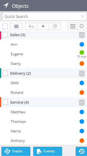
Clients that monitor tens and hundreds of objects, as a rule, group them by: departments, branches, types of transport, etc. Now the Objects panel displays a number of devices in each group.
Even "accidental" trackers renaming is recorded
Companies with a large vehicle fleet often face situations when employees accidentally (or deliberately) rename objects. After that, it's easy to get confused, because there can be a hundred objects or even more.

Now each renaming is logged and displayed in the event history. If there is a controversial point or you just want to know when the object was renamed, it's enough to create a report on the events for any period — you’ll find all the information there.
LBS location fine-tuning
Many modern GPS trackers, as well as mobile X-GPS applications, in addition to satellite positioning, use LBS location by GSM and WiFi stations.
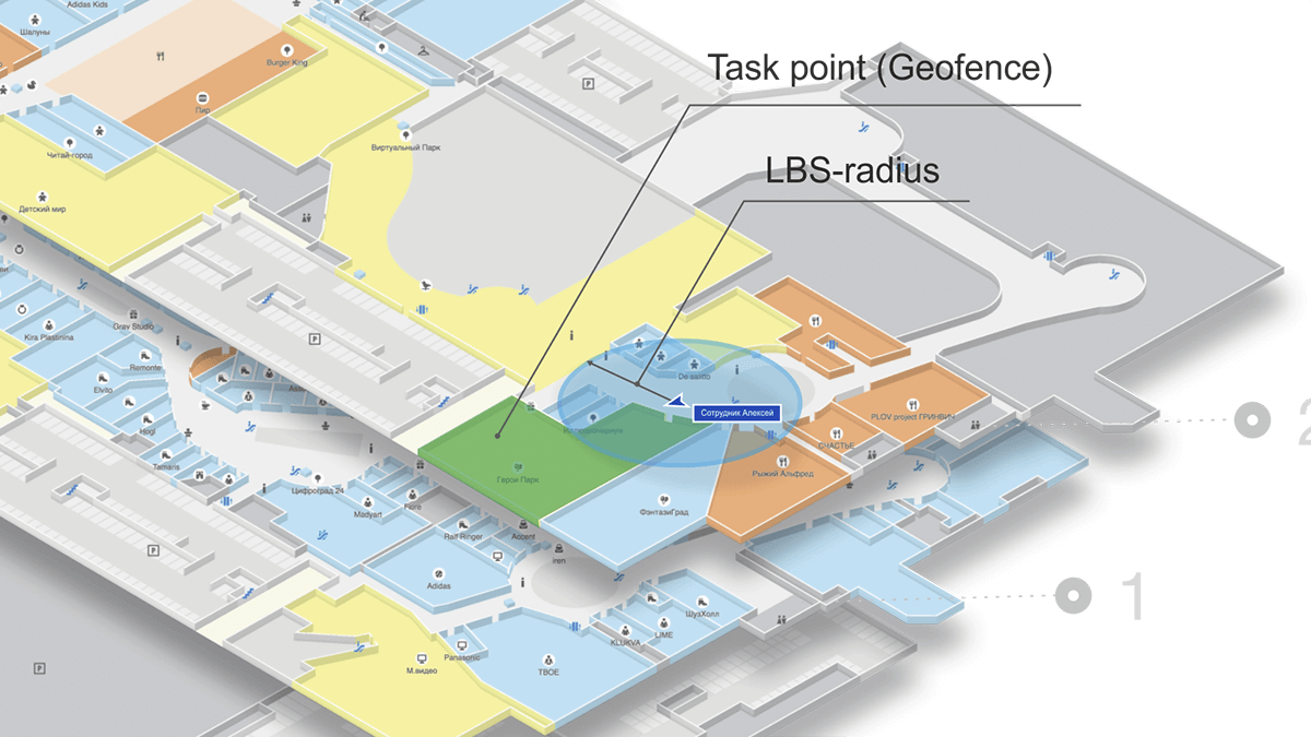
However, in cases when a high accuracy level is needed, LBS location inaccuracy of several hundred meters can’t be acceptable. To solve this, we’ve added the opportunity for a client to set and reduce LBS point radius to 100 meters.
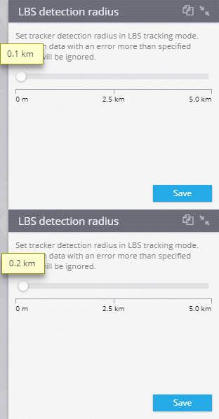
Let’s take an example: a supervisor needs to monitor the employee meeting a client in the shopping center. When an object moves inside the building, the LBS inaccuracy can "float", especially on the basement floors. If the client's address is specified quite accurately, it sometimes may lead to erroneous "fallout" from the task area. A supervisor receives notifications that the employee has left the set site, although he/she is still there. Reducing the LBS filter radius to 100 meters, incorrect points are dropped out and errors are excluded.
This way, users can now independently determine the geofences parameters (including tasks) and the permissible LBS inaccuracy, based on their needs.
Find geofences by tags
Tags are widely used in Navixy for various objects search: employees, transport, tasks, etc. They help users quickly find and filter objects of the desired type. Now Geofences are supplemented with tags. When creating a geofence, you can not only name it, but also set one or several tags to it: "Store", "Warehouse", etc.
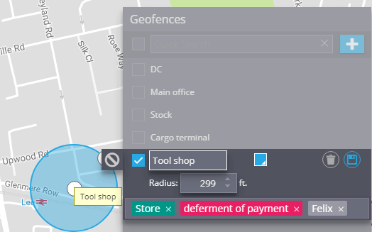
In order to find the geofences of the desired type, it’s enough to insert the corresponding tag in the input line.
Integrated devices
For October we’ve extended the list of integrated devices. Teltonika FMB125 is a device we want to pay attention to. Navixy supports all the features of this popular automotive GPS tracker. We also implemented support of various analog and digital sensors: fuel level, temperature, driver identification kit, CAN-adapters LV-CAN200 / ALLCAN300, etc.
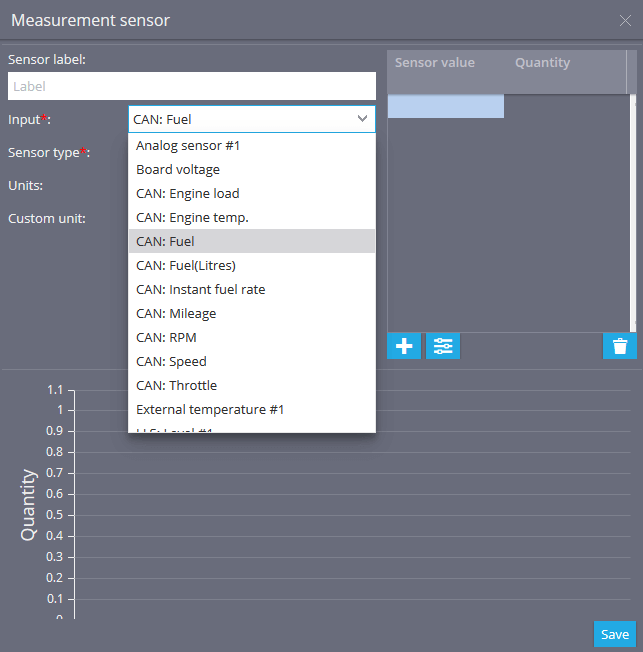
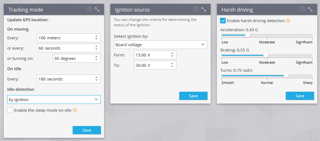
In keeping with the best traditions of Navixy, you can control and configure the GPS tracker capability directly in the system through visual modules. Adjust the parameters for "eco driving", monitoring modes, specify the ignition control values, etc.
