How to automate route and risk-zone control at scale

AuthorRoman S, Product owner, Navixy integrations
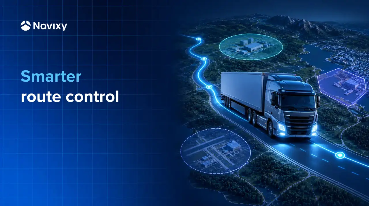
A vehicle enters an area marked as high risk. Another leaves the corridor assigned to its current trip. Both events look simple on a map, but responding to them becomes far less simple when the operation spans hundreds of routes, customer sites, service territories, and restricted areas. How do you identify the relevant geozone and apply the right rule without building and maintaining thousands of separate checks?
In this article, we look at how IoT Logic can support route deviation and risk-zone control across large, constantly changing sets of geozones.
One vehicle position can carry several business meanings
A coordinate tells us where a vehicle is. On its own, however, it says little about what that location means to the business. The same position may be inside an approved route corridor, close to a customer facility, within a high-theft area, or outside the territory assigned to a contractor.
Geozones add that operational context. They allow a business to translate latitude and longitude into concepts its teams already use, such as Depot North, Route 17, Customer Site 42, Authorized Service Area, or High-Risk District B. Once these concepts become available to an automation flow, a location update can trigger a response that reflects the actual situation.
This matters because many location-based services depend on more than detecting that a boundary was crossed. The system often needs to identify the precise zone involved. A dispatcher handling a route deviation needs to know which approved corridor the vehicle has left. A security team responding to a risk event needs to know which district the vehicle entered, since the response may differ by location.
For telematics providers, this creates room for services that go beyond showing events on a map. A platform can interpret location in the customer's operational terms, send that context to the right system, and support a different response for each type of area.
The simple approach stops working as the map grows
The usual model for geozone automation is direct. Select one geozone, take a location reported by a device, and check whether the point is inside or outside it. This works well for a depot, a warehouse, or another clearly defined location.
The model is much less practical when the answer could be any one of thousands of geozones. Building a separate condition for every zone creates a large flow with repeated logic. Each new route, customer site, or restricted district adds another condition to configure, test, and maintain.
The problem is not only the initial setup. Geographies change. Customers open facilities, revise routes, add service territories, and update their risk maps. When geozone logic is duplicated across many branches, every change creates more work and more opportunities for inconsistent behavior.
This limits the service commercially as well as technically. A location-based product may work well during a pilot with 20 zones and become cumbersome when rolled out across several regions. The provider then faces an awkward choice between restricting the customer's model and absorbing a growing amount of configuration work.
A more scalable design separates two concerns. The customer manages the relevant geozones and groups, while the automation handles the result of the lookup. The same flow can then continue to work as the underlying geography develops.
How the geozone lookup works in IoT Logic
The new IoT Logic function changes the unit of comparison. Instead of checking a point against one predetermined geozone, it can check the point against all geozones available to the user or against a selected geozone group.
The flow works in five stages.
- A tracking device sends a data packet containing the current vehicle position.
- IoT Logic takes the coordinate from that packet.
- The function compares the point with the relevant list or group of geozones.
- If the point falls inside a geozone, the function returns the matching geozone, including its name.
- The flow uses that result in another condition or passes it to an external system for further processing.
Returning the matching geozone is the key detail. A simple yes or no result can confirm that a vehicle is inside one of the zones, but it does not provide enough context for a differentiated response. The zone name gives the next stage of the process something meaningful to work with.
Consider a group containing several high-risk districts. The lookup can return High-Risk District B rather than a generic indication that the vehicle is somewhere in a risk area. An external security application can then apply the instructions associated with that district. The same principle works for route corridors, service regions, depots, delivery areas, or customer sites.
Groups also make the logic easier to reuse. A solution builder can organize zones according to their role and check only the relevant collection at each point in the flow. A route-control process can work with approved corridors, while a security process checks risk areas. The vehicle may be evaluated by both processes, but each one remains focused on its own operational question.
Route deviation becomes easier to manage across a network
Route deviation is one of the clearest applications. A transport operator may have many valid corridors across different routes, regions, or customer contracts. The active route can also change during the day as work is assigned or rescheduled.
Check the position against approved corridors
With individual geozone checks, the automation needs to know in advance which exact corridor to test. That may work for fixed routes, but it becomes harder when vehicles move between assignments or when an external dispatch system controls the current trip.
A group-based lookup offers a more flexible model. The current coordinate is checked against the set of approved route zones. If the function returns a zone, the system knows which corridor currently contains the vehicle. If it returns no match when the vehicle is expected to remain inside the approved network, the flow can treat the result as a potential deviation.
Pass the deviation to the system that can act
IoT Logic can prepare the event and send it to an external dispatch or routing system. That system may notify an operator, confirm whether the deviation was authorized, or calculate a revised route. The telematics flow does not have to reproduce all the business logic of the dispatch application. Its role is to identify the location condition and pass useful context into the broader process.
This division of work is important for solution builders. Route planning, driver communication, customer commitments, and incident management may already live in separate applications. A geozone lookup connects live telemetry with those systems, giving them a location event they can process rather than another standalone alert that somebody must interpret manually.
The service is also easier to explain to a customer. It does more than watch for a vehicle crossing one static boundary. It continuously interprets each relevant position against the customer’s route geography and provides the information needed for the next decision.
Risk-zone monitoring needs a specific answer
The second common scenario involves areas where the customer wants closer control. These could include districts with a higher theft risk, roads with operating restrictions, hazardous environments, areas affected by civil disruption, or locations where a particular cargo requires an additional security procedure.
A generic risk-zone alert may be enough to attract attention, but it still leaves the recipient to establish what happened. If the system identifies the specific zone, the event can arrive with the context required for action. High-Risk District A might require a dispatcher notification, while District B could require a route change and an escalation to a security partner.
This makes it possible to design tiered responses. Geozones can be organized by risk category, geography, customer, or operational policy. When a vehicle enters one of them, the returned name can be mapped to the appropriate response in IoT Logic or in an external system.
The same pattern can support positive rules, too. A vehicle entering an authorized loading area may trigger a workflow that records its arrival, updates an order, or informs a customer. A service van arriving inside the correct operating territory may be marked as available for a nearby job. The technical mechanism remains the same, while the business meaning comes from the way the customer structures its zones and downstream actions.
That distinction is useful when packaging a service. Route control, security monitoring, site arrival, and territory compliance do not need four completely separate location engines. They can be different applications of a common lookup capability, combined with the relevant groups and response logic.
Scale changes the economics of geofencing automation
Checking a point against a list sounds like a modest operation. At fleet scale, the workload is less modest. Every incoming device packet may need to be compared with a large number of polygons, and a single customer can have as many as 10,000 geozones.
The load depends on several factors, including the number of devices, reporting frequency, number and complexity of geozones, and how often the lookup is executed. A fleet reporting every 30 seconds produces twice as many location updates as the same fleet reporting once a minute. If every update is checked against thousands of areas, small configuration decisions quickly become infrastructure decisions.
Providers therefore need to decide where the lookup is useful rather than applying it indiscriminately. A risk-zone check may be relevant only while a vehicle is moving or carrying a particular cargo, while a route-control process may need a selected group rather than every zone in the account. Reporting frequency should also reflect the response time the operation genuinely requires. A five-second response may be justified for a time-sensitive security scenario, while territory compliance may work perfectly well with a longer interval.
A reusable model matters more than another alert
The immediate benefit is the ability to find the relevant geozone without building a separate check for every possible match. For TSPs and integrators, the larger value is repeatability. A provider can create a common flow pattern, then configure the geography and downstream response for each customer.
One logistics company may use the model for approved route corridors. Another may apply it to high-risk districts and secure parking areas. A field-service operator may organize geozones around territories, customer sites, and restricted locations. The zones and response rules remain specific to each operation, but the method of interpreting a position does not need to be rebuilt for every deployment.
This also gives external applications better input. Instead of receiving a raw coordinate and reproducing the geospatial lookup, a dispatch, security, or order-management system can receive an event that already includes the relevant zone context. Navixy establishes where the event sits within the customer's geography, while the external application applies the business process that belongs there.
The broader development is that geozones are becoming part of the operating model rather than a collection of boundaries used only for alerts. Routes, service territories, customer locations, secure areas, and risk classifications can form a geographic layer that automation can query as conditions change.
A single vehicle may eventually be evaluated against several such collections at once, including its assigned route, the customer's authorized territory, and a shared risk map. Each lookup answers a different operational question, but the results can feed one coordinated process. For solution builders, this creates a location-aware service that can expand with the customer's network without multiplying flow logic at the same rate.
Want to learn how to enable the new function and apply it in your own IoT Logic scenarios? Contact our team to discuss your project requirements and available options.
On this page
- One vehicle position can carry several business meanings
- The simple approach stops working as the map grows
- How the geozone lookup works in IoT Logic
- Route deviation becomes easier to manage across a network
- Risk-zone monitoring needs a specific answer
- Scale changes the economics of geofencing automation
- A reusable model matters more than another alert